 Image 1 of 5
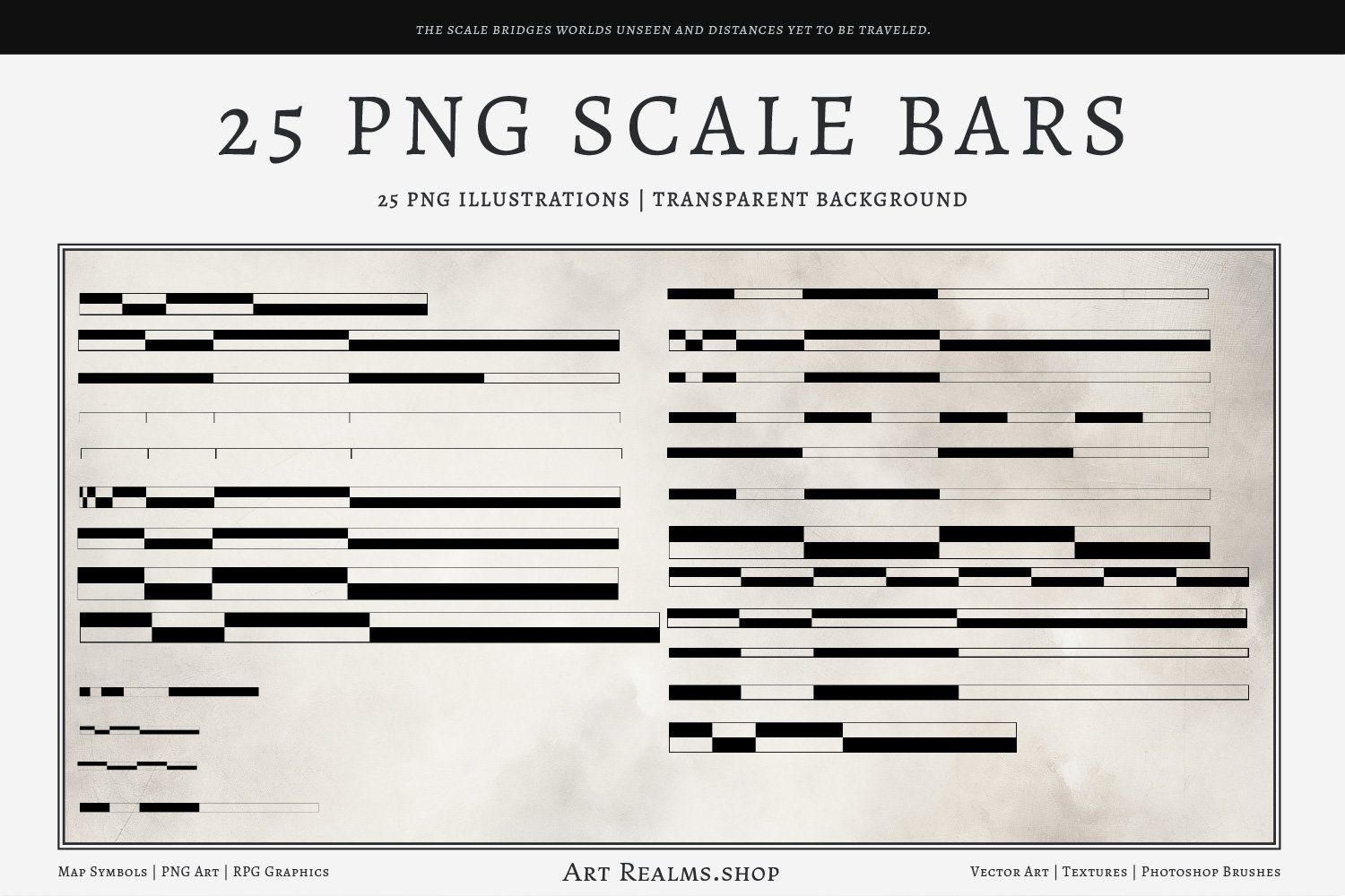
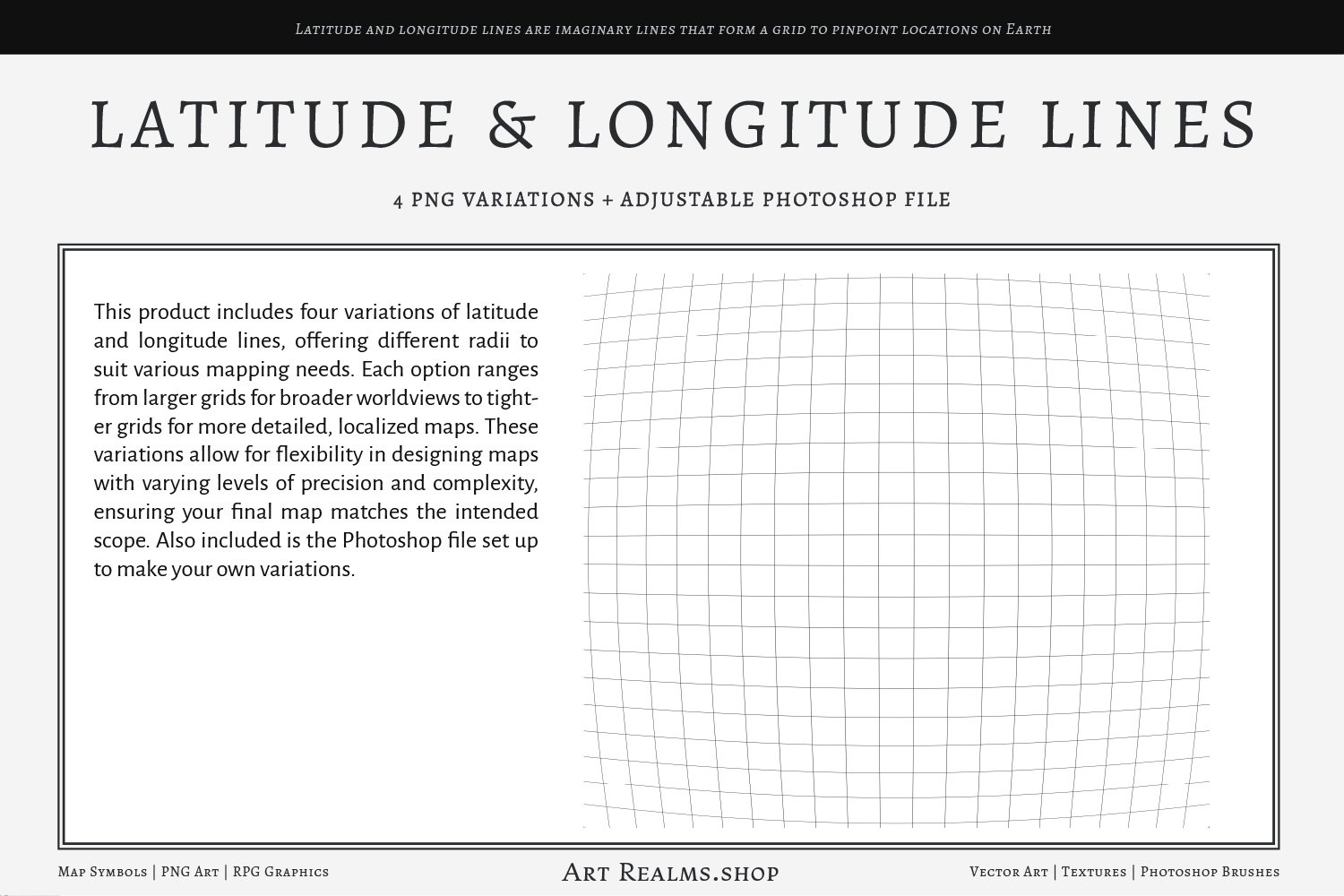 Image 2 of 5
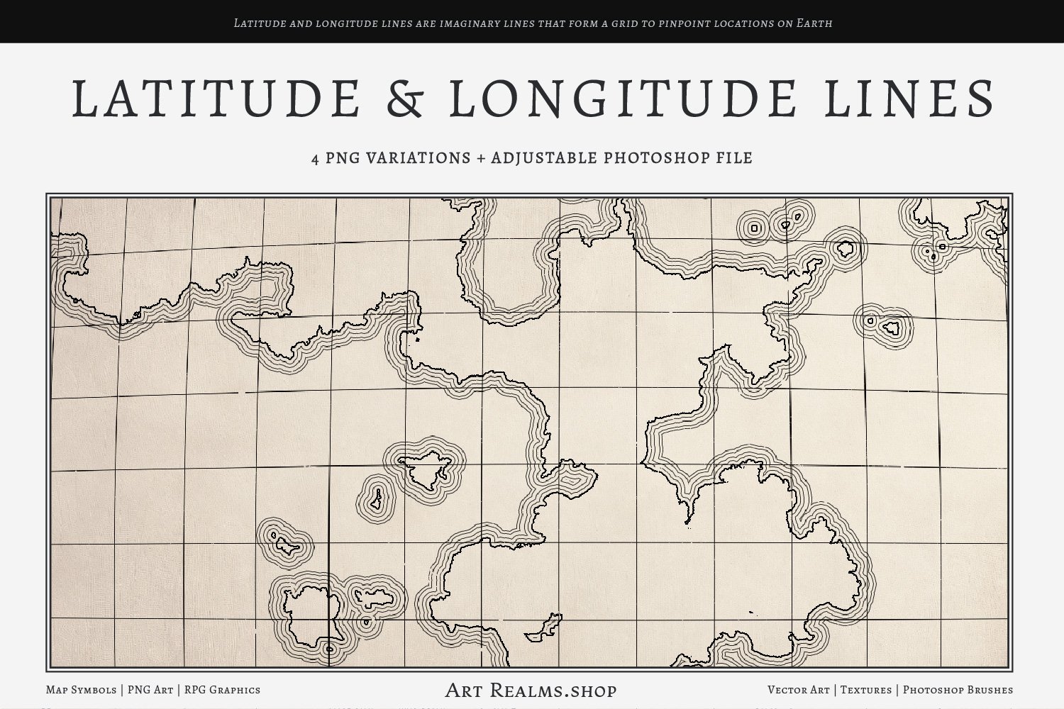
 Image 3 of 5
 Image 4 of 5
 Image 5 of 5
This product includes four high-resolution PNG images (8k each) featuring varying radius options for latitude and longitude lines, allowing for flexibility in map design. Additionally, a fully editable PSD file is provided, making it easy for users to customize the grid to their specific needs. Whether you're crafting large-scale world maps or focusing on localized details, these ready-to-use files streamline the process, offering precise control over your map's layout with minimal effort. Perfect for authors, cartographers, and designers looking for high-quality, adaptable tools. Disclaimer: These grid lines are not based on real-world geographic data. They are designed purely for creative and illustrative purposes in fantasy map-making or fictional cartography.
This product includes four high-resolution PNG images (8k each) featuring varying radius options for latitude and longitude lines, allowing for flexibility in map design. Additionally, a fully editable PSD file is provided, making it easy for users to customize the grid to their specific needs. Whether you're crafting large-scale world maps or focusing on localized details, these ready-to-use files streamline the process, offering precise control over your map's layout with minimal effort. Perfect for authors, cartographers, and designers looking for high-quality, adaptable tools. Disclaimer: These grid lines are not based on real-world geographic data. They are designed purely for creative and illustrative purposes in fantasy map-making or fictional cartography.